Geochemical Survey Design Planning
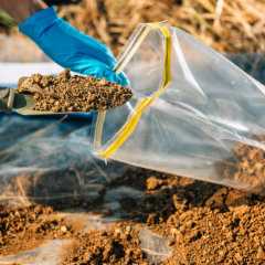
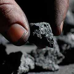
Geochemical sampling surveys involve collecting and analysing rock, soil, water, or vegetation samples from the earth's surface to determine the presence and abundance of specific elements and minerals. The data obtained from these surveys can be used to identify potential mineral deposit areas and assess the quality and quantity of mineral resources.
Geophysical Survey Design Planning
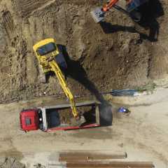
Geophysical surveys are non-invasive techniques used to map subsurface geological structures and identify subsurface anomalies, such as minerals, fluids, and geohazards. These surveys use various methods, such as magnetic, electromagnetic, seismic, and gravity, to measure physical properties of the subsurface and generate images of the subsurface structures. The data obtained from geophysical surveys is valuable for mineral exploration, civil engineering, and environmental assessments.
Standard Operating Procedures
Consistent data collection can be achieved by following step-by-step instructions, as laid out in Standard Operating Procedure (SOP) documents. We write SOPs for clients for a variety of field work, including site-specific pXRF calibrations, drillcore sampling, geomechanical logging, RC drill sampling, soil sampling, and much more.
Short courses
The field of mineral exploration is evolving quickly as new tools (both hardware and digital) are being integrated into conventional workflows. Data collection in the mining industry produces large volumes of information which need to be captured and integrated more effectively. Experts in Data Science, GIS, and machine learning generally need to gain geoscience experience to recognise what data is helpful during exploration and how to use this data. Conversely, geoscientists need exposure to mathematics, statistical methods, and data analysis to select the appropriate treatments for data-driven projects. Our short courses and on-site training help leverage our team's applied and academic experience to enable participants to bridge the gap between practical and theoretical methods currently used in the industry, to facilitate data integration, support more rapid discovery.
 Search
 English
 Login
Login

